
MAPA TURÍSTICO PARA ROTEIRO
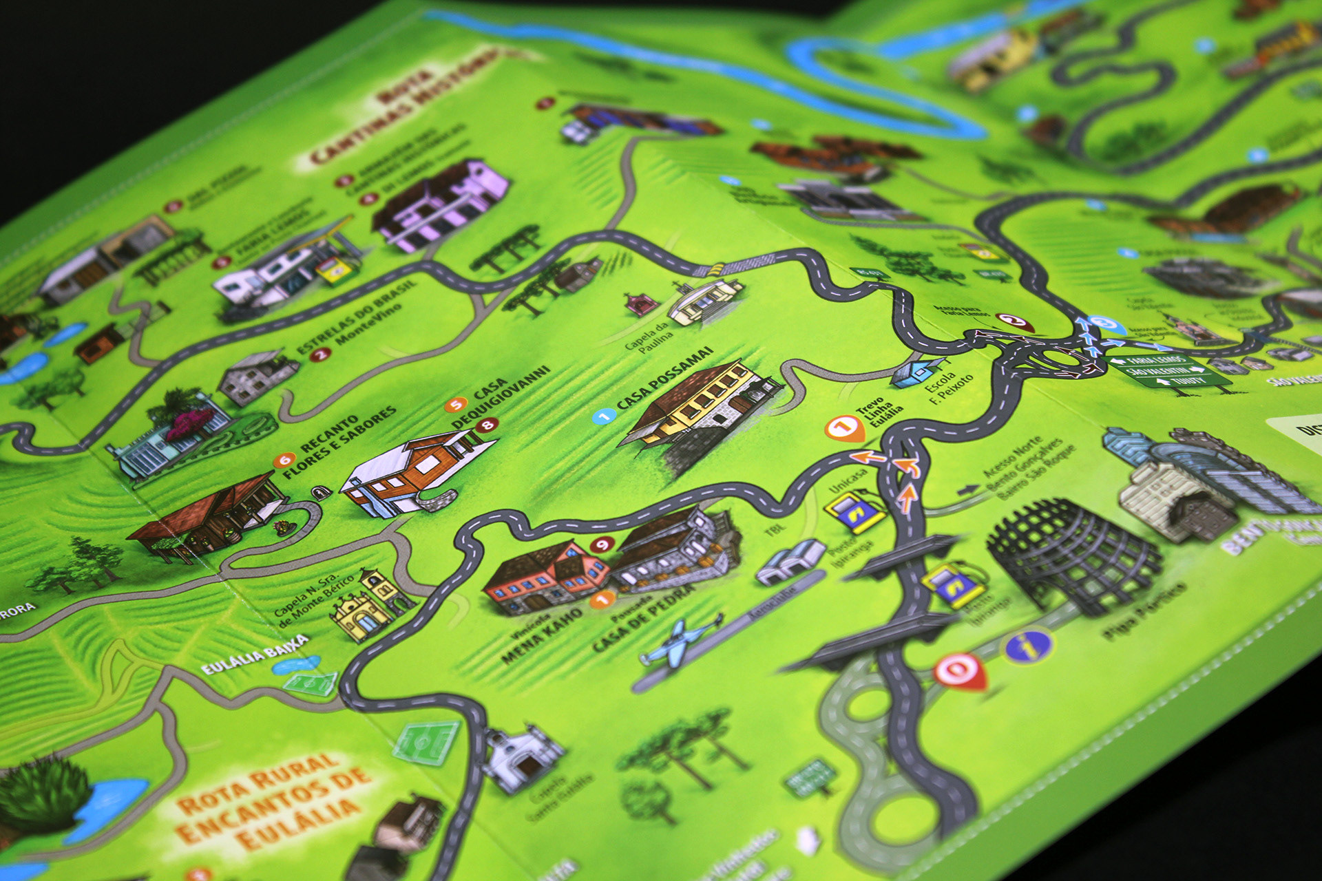
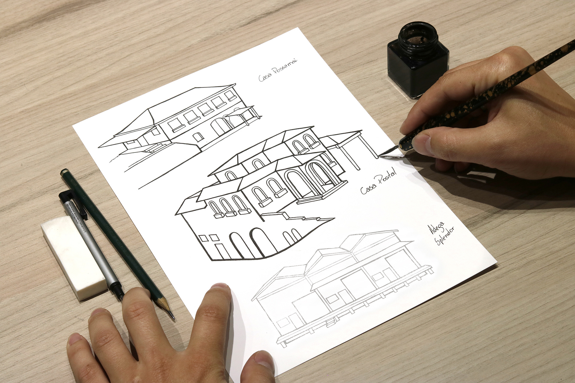
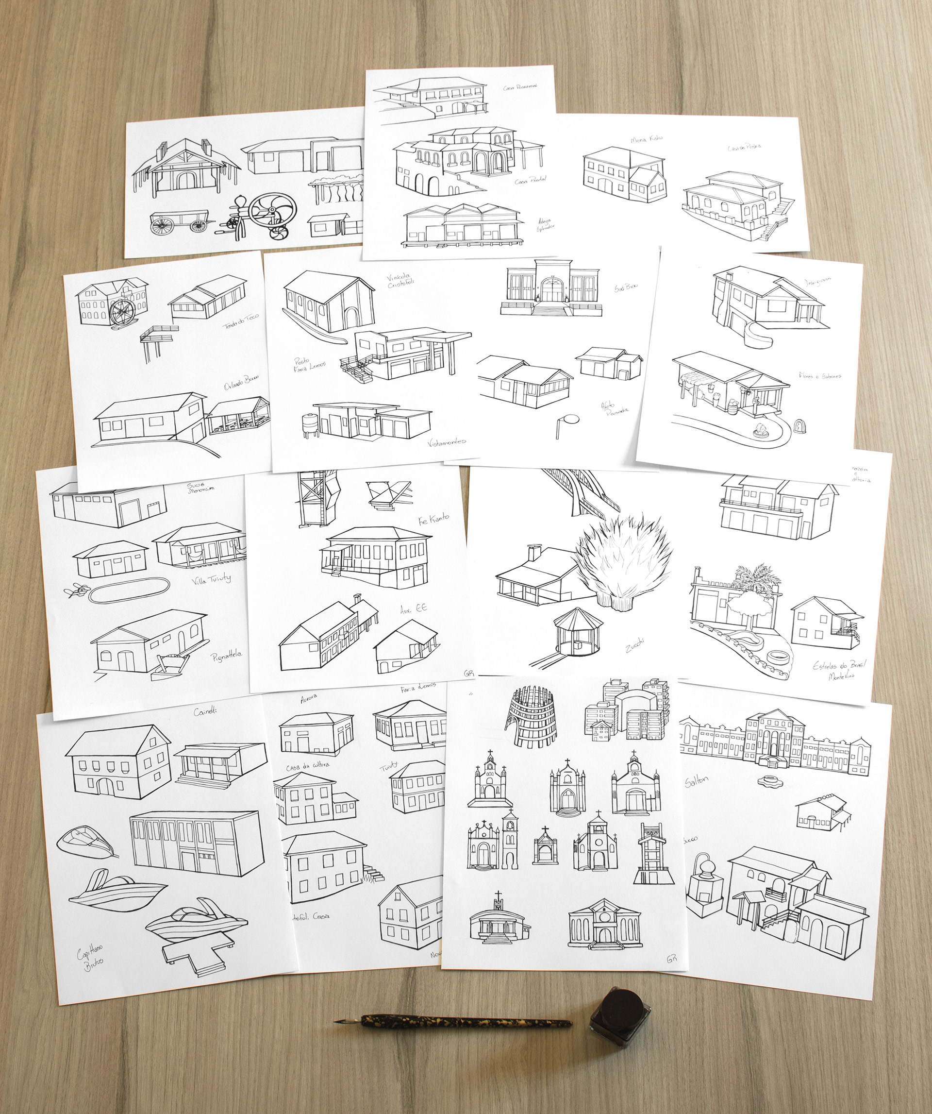
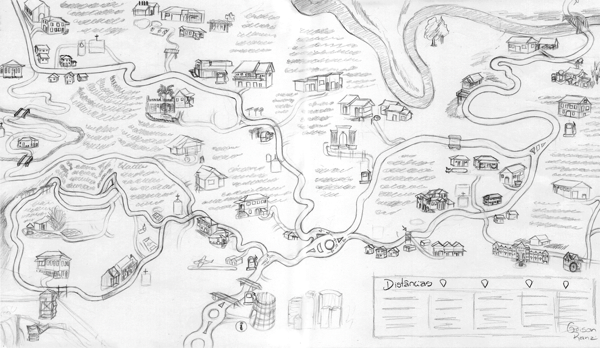
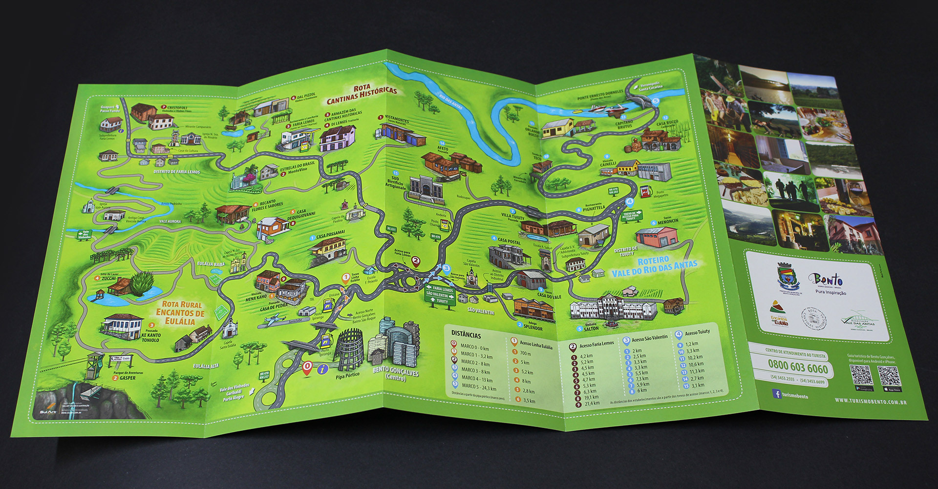
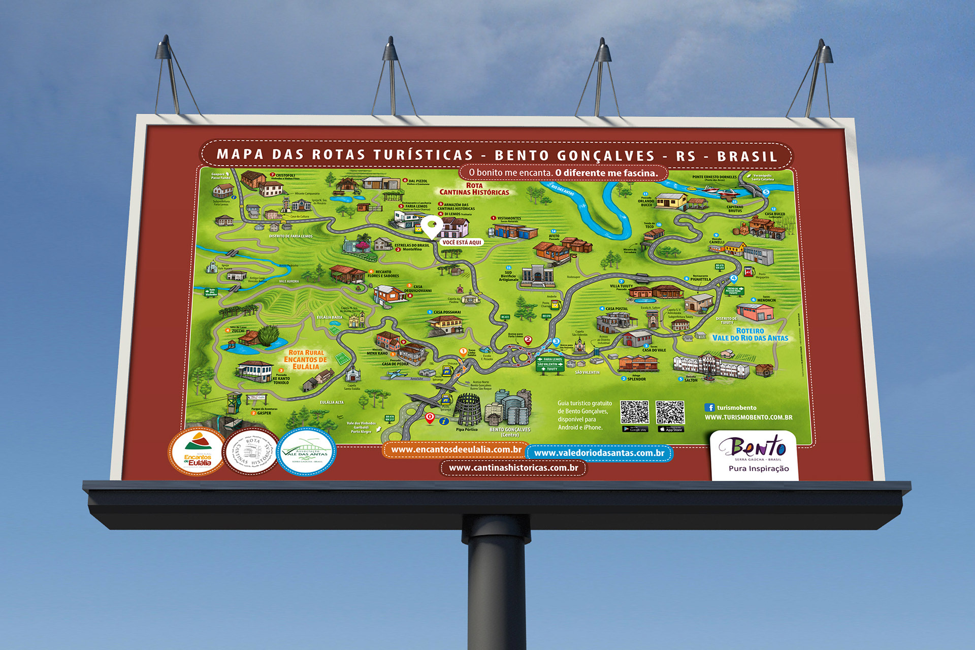
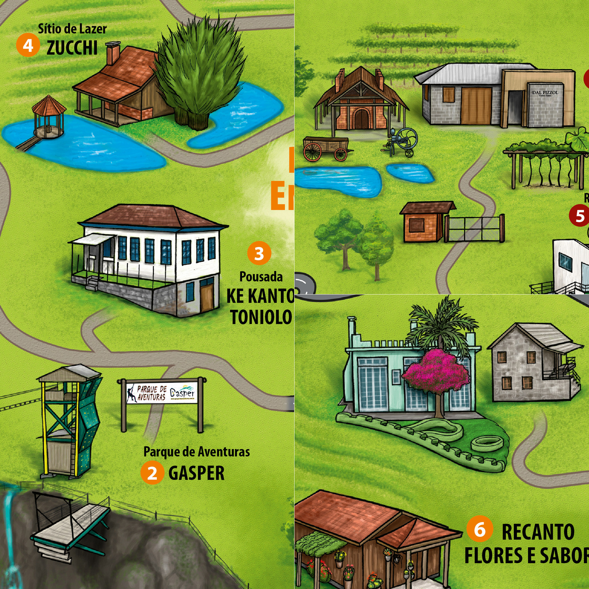
O projeto consiste na união de três roteiros turísticos de Bento Gonçalves, Rio Grande do Sul. Com a necessidade de criar-se um mapa ilustrado personalizado, que fosse informativo, mas que valorizasse a beleza da região, desenvolvemos essa ilustração em nanquim com colorização digital, ilustrando todos os pontos do mapa com traços únicos e pintura artística fiel a realidade, afim de manter as características da região, localizar e informar o turista sobre o que as rotas podem oferecer, de forma objetiva e clara. O material foi utilizado para folder, outdoors e internet, compondo um material essencial para o turista que vem conhecer a região.
The project consists in the union of three tourist itineraries of Bento Gonçalves, Rio Grande do Sul. With the need to create a personalized illustrated map, which was informative, but that valued the beauty of the region, we developed this illustration in nanjing with digital colorization, illustrating all the points of the map with unique traces and painting artistic faithful to reality, in order to maintain the characteristics of the region, locate and inform the tourist about what routes can offer, objectively and clearly. The material was used for folder, billboards and internet, composing an essential material for the tourist who comes to know the region.
Client: Rotas Integradas - Bento Gonçalves - RS
Project: Outdoor / Folder / Website
Images: Bagual Studio
Project: Outdoor / Folder / Website
Images: Bagual Studio